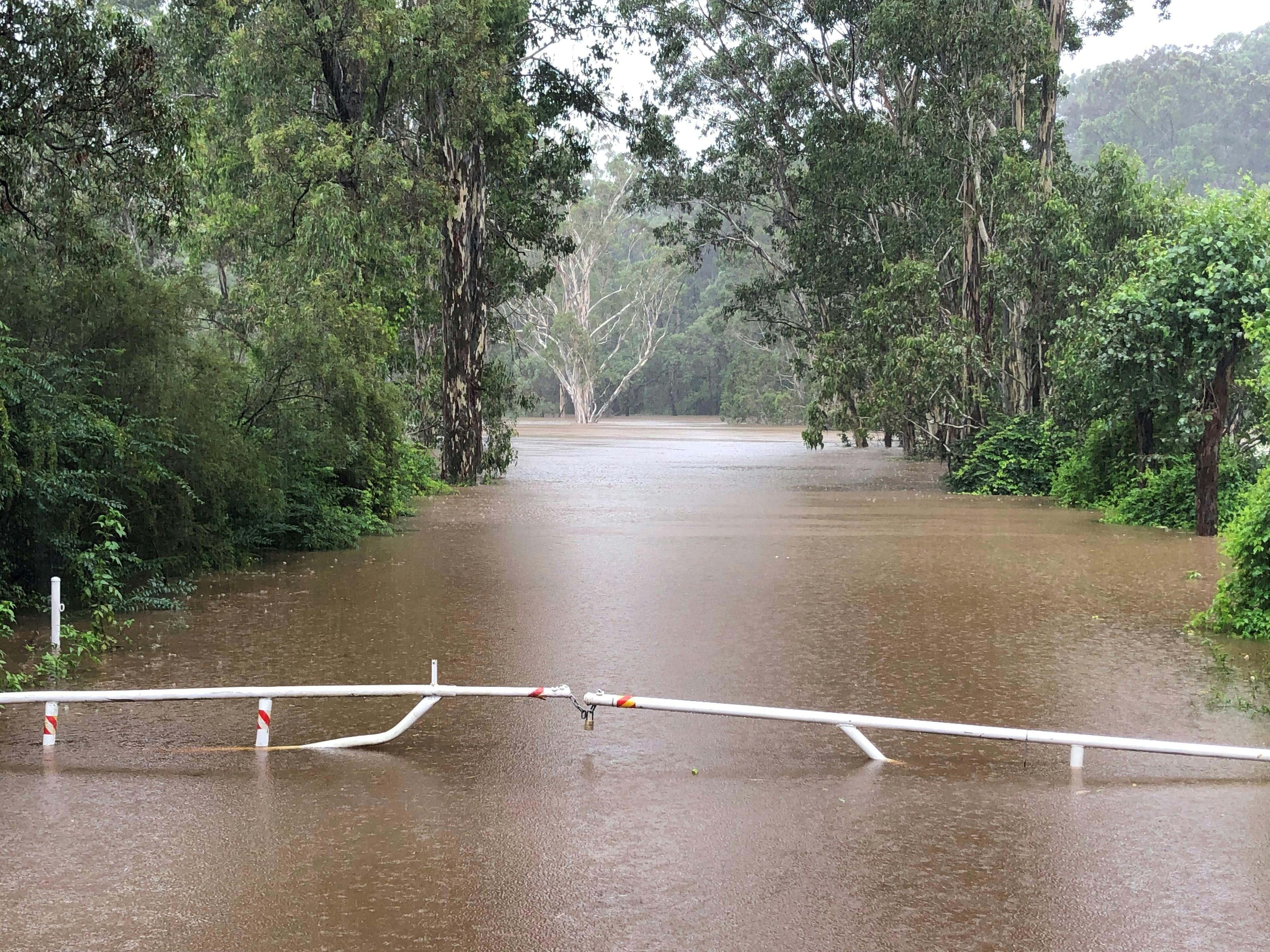
Have Your Say on the Upgrading of Flood Warning Infrastructure
Consultation has concluded.
Background
In late 2023, the NSW Government informed Council that its business case for the upgrading of its flood warning infrastructure was approved.
A deed was formally executed between Council and the Department of Regional NSW in March 2024. This committed funding for the delivery of the project - part of the NSW Government’s Western Sydney Infrastructure Grants (WSIG) Program.
What we are doing:
This project will include the installation of:
Advanced flood warning sensors
Upgraded flood gates
Warning signage at Council’s five low-level bridge crossings.
The infrastructure will be installed along Blue Gum Road, Cattai Ridge Road, McClymont’s Road and Pitt Town Road.
This project will also include the installation of advanced warning signage on rural feeder roads. This will inform drivers about the status of the bridge (i.e. open or closed).
Below is a map showing the general location of the five projects:

Many of these bridges have been subject to vehicles entering flood waters, becoming stranded and needing to be towed out. In 2021 there was a fatality at the Cattai Ridge Road bridge crossing when a vehicle entered flood waters.
Above: Aerial of 2023 floods in The Hills Shire North.
Completion of these works will:
Promote community safety
Reduce travel time by providing advanced notification of road closures
Improve the resilience of infrastructure during flood events.
How you can help us:
As part of a Monitoring and Evaluation Plan for the project, Council will collect and analyse data across the project lifecycle to understand how effectively the project achieves its intended outputs and outcomes.
Council is inviting drivers who utilise Council’s rural road network to complete the survey below to understand current road user behaviours during extreme weather (flooding) events in The Hills LGA.


